
Paynesville - Progress Jetty Area Redevelopment
Updates are provided in the tab below
The redevelopment of the Progress Jetty area was a key deliverable of the Paynesville Foreshore Management Plan adopted by Council in 2017. A design has been developed that seeks to address the issues and actions raised against Precinct C – Township of the Foreshore Management Plan.
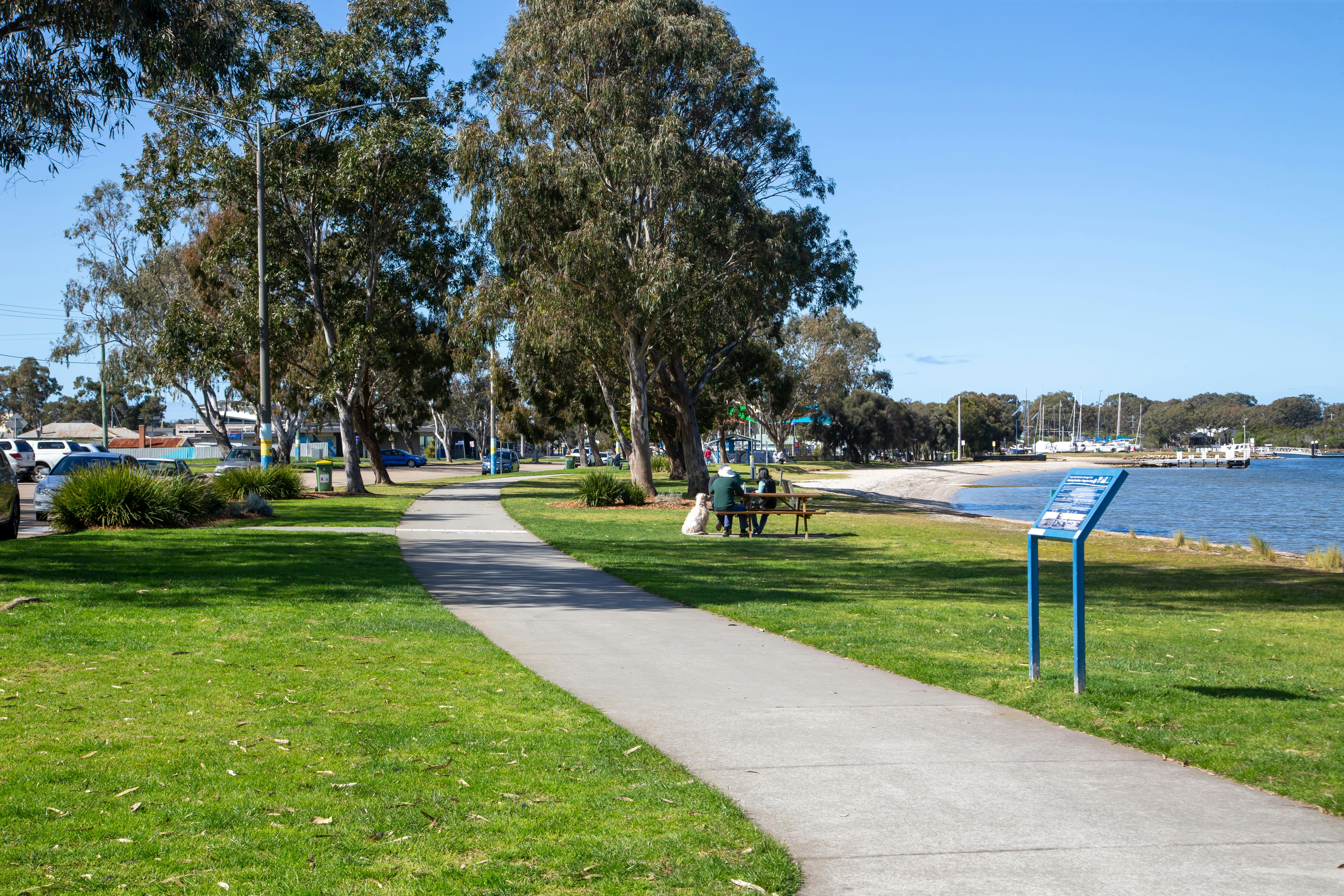
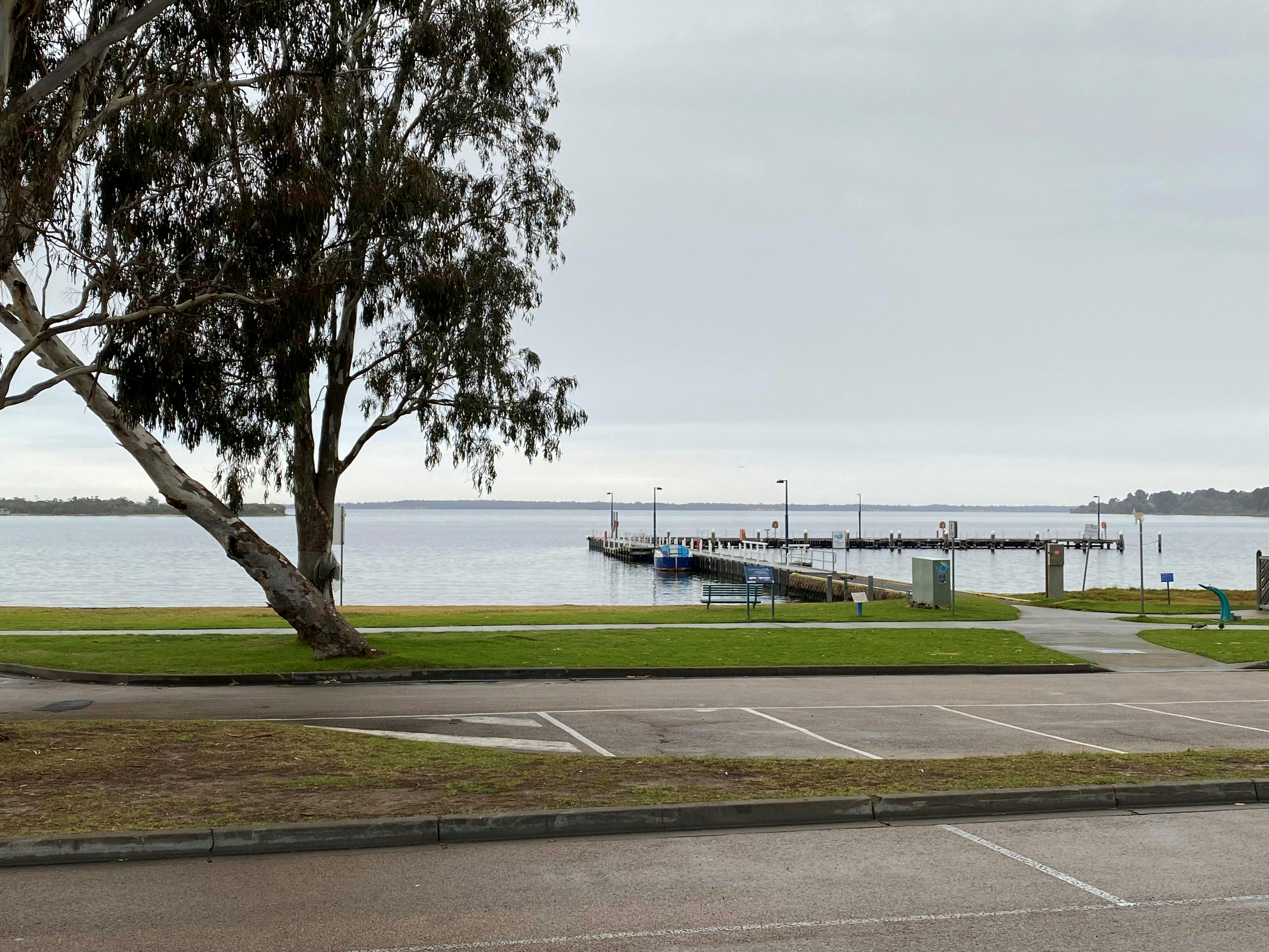
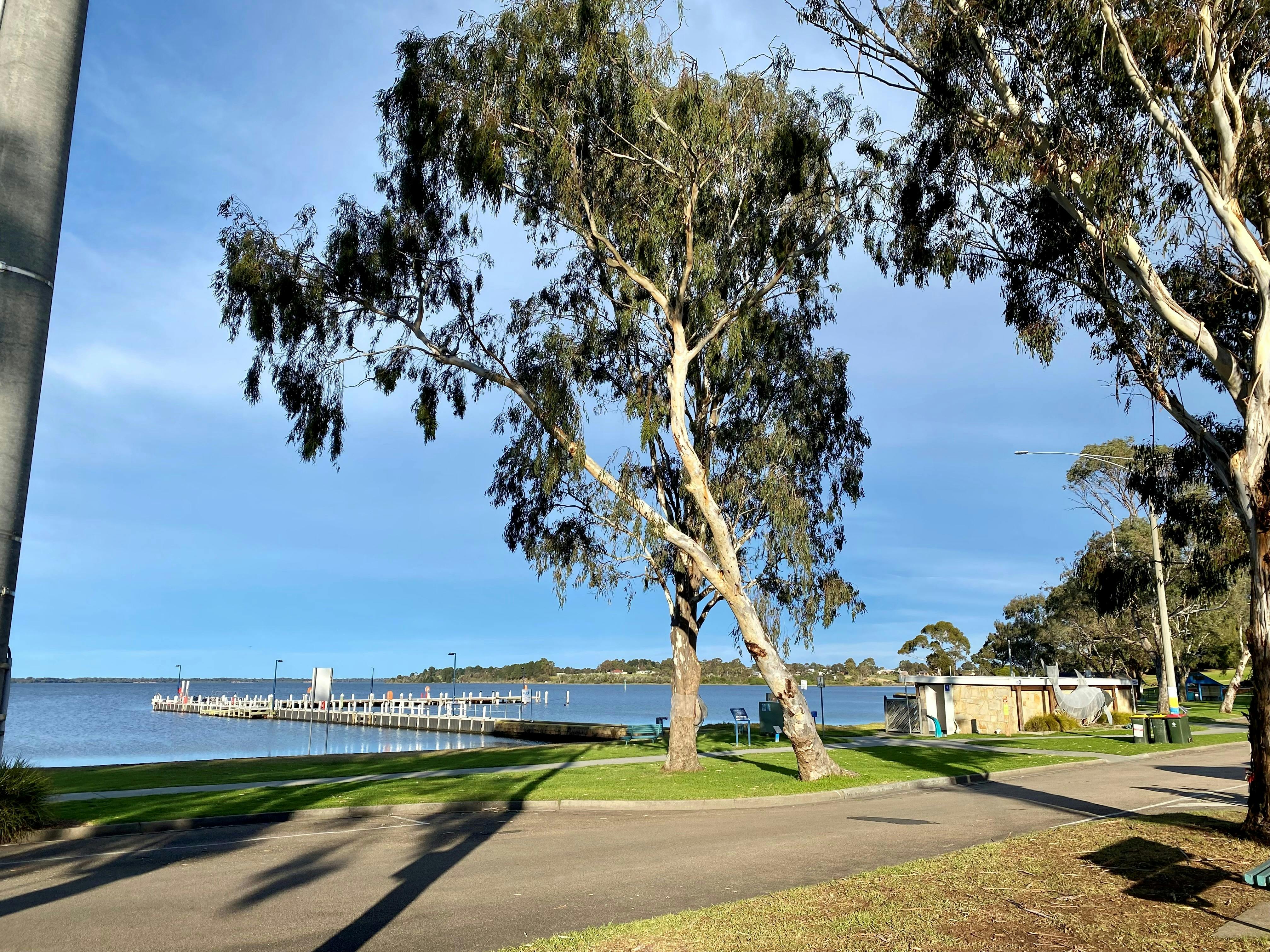
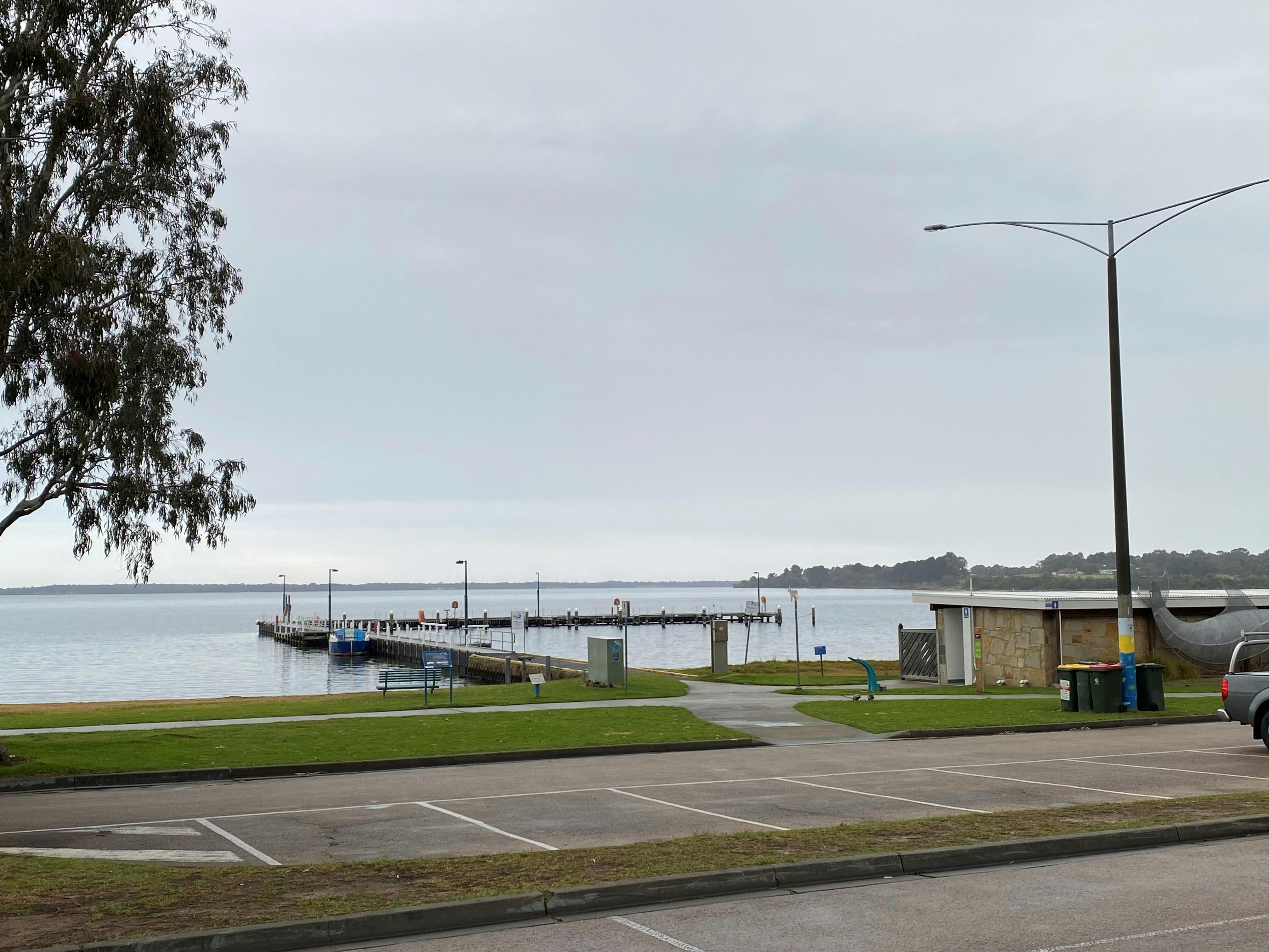
A concept plan has been prepared for the site that sits adjacent to the popular commercial strip and contains a well-used boat ramp, a jetty, playground, toilet amenities and ample car parking. The Paynesville Community Craft Centre is also a significant piece of the foreshore.
The concept plan was developed in collaboration with the Paynesville BTA, Community Craft Centre, Landcare Coastcare Group, Gippsland Lakes Yacht Club and Gippsland Ports.
The upgrades proposed include:
- New pedestrian crossing areas to increase safety
- Large playground – including water play elements
- New picnic areas
- Preservation and eventual upgrade to the Community Craft Centre
- Reconfiguration of parking to create more green space and open spaces on the foreshore without a loss of carparking
- Beautification and landscaping works
Consultation was held in late 2020 regarding a new plan for Progress Jetty. Ample feedback was received via an online survey and two onsite in person consultation sessions. Council has revised the Progress jetty Precinct Concept plan based on the feedback received. The following provides a description of the revised masterplan along with a list of themes and comments received. Also provided is Council’s response to these themes and comments (see the Consultation Feedback and Responses report in the Documents section).
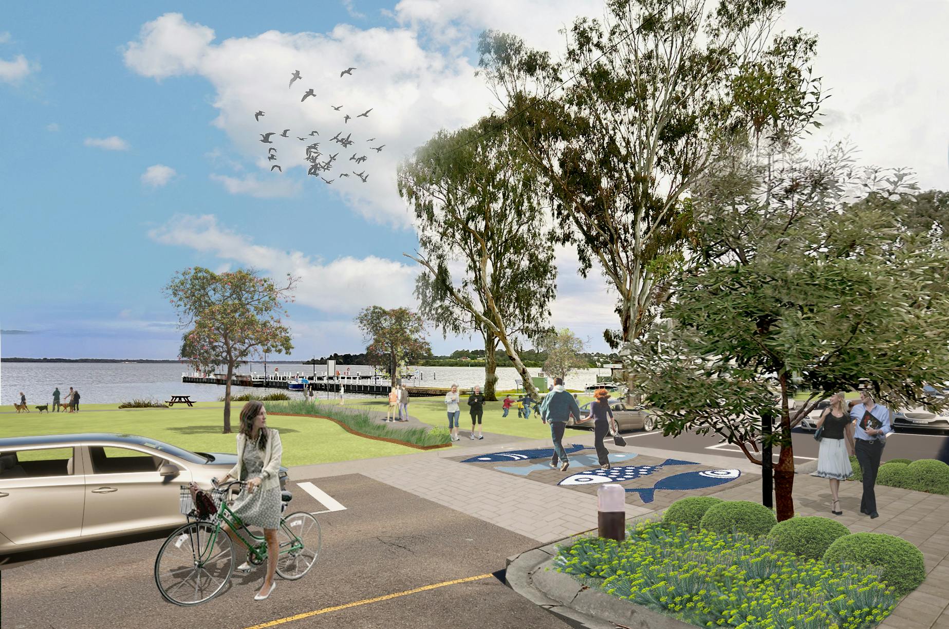
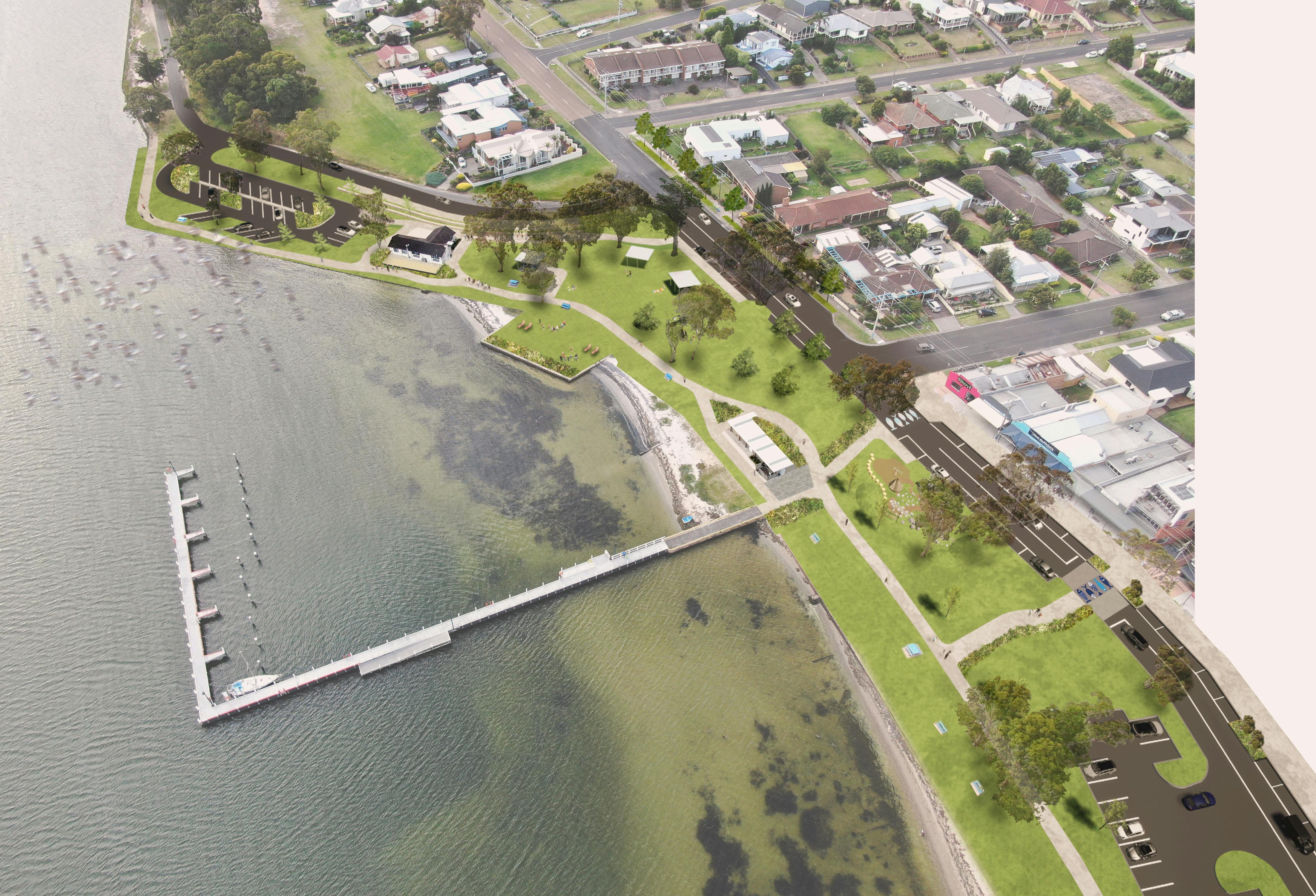
Progress Jetty Precinct Plan
Rebalancing vehicle and pedestrian movements is pivotal to the Foreshore Masterplan, with pedestrian priority access from the esplanade to the foreshore and east-west movement along the foreshore. An upgraded meandering east-west path through the site connects to McMillan Straight to the east and Sunset Cove to the west. The path conveniently connects to a series of community nodes including the Paynesville Community Craft Centre, foreshore amenities, new playground, picnic and BBQ facilities.
A secondary path connects visitors to Grassy Point lookout and the Gippsland Lakes Yacht Club, where views to Lake Victoria and back along the Progress Jetty Foreshore can be admired. The Progress Jetty Foreshore area will provide open space and amenity for the local community, that also accommodates for periods of increased tourism visitation, enabling all users to meet, relax, play, move, interact, and participate.
The design will see a new playground established close to Progress Jetty. It aims to cater for a range of age groups and modes of play. The main playground will consist of a range of climbing, obstacle and tunnelling structures and include sailing and fishing themed water play features. The main playground will be accompanied by a nature playground situated under the existing canopy tree cover, consisting of low scale climbing structures, made from natural materials. Equipment will resemble hand crafted materials and finishes to create a relationship with the Craft Centre. The project will consider working with local artists to design and construct features. Over time this play area will replace the aging play ground closer to the yacht club.
Movement and Access
Parking is a key consideration of the design, with a preliminary survey identifying a surplus of parking spaces being provided during peak times within the Foreshore precinct. The initial brief was therefore, to reduce the overall paved parking in order to enhance landscape embellishments and formalise parking where it was of most value. It had been further acknowledged through community consultation that more convenient parking access was required in front of the Esplanade Shopping Strip. The design re-envisions the Esplanade to allow for 45-degree angled parking on the north side and parallel parking along the Foreshore to the South to provide optimal vehicle access. While the Masterplan reduces parking spaces in the Foreshore Parking area, a net gain in formalised parking across the Foreshore Precinct has been achieved.
In determining a suitable pedestrian crossing treatment of the Esplanade at the Shopping Strip, a key consideration is the volume of pedestrian and traffic movements in the vicinity. Our observations suggest that pedestrian volumes exceed 20 persons per hour, and traffic volumes exceed 200 vehicles per hour, and we anticipate that during the peak summer season, both pedestrian and vehicle volumes may be higher. As such, some form of pedestrian priority crossing is warranted. In selecting a suitable design, it is important to find a balance between a treatment that services both peak and off-peak activity levels appropriately. The Foreshore Masterplan therefore recommends use of a conventional raised zebra crossing (known as a “Wombat Crossing”).
This type of crossing provides for pedestrian priority, with an additional inclusion of a raised surface that assists with lowering vehicle speeds and increasing driver compliance with speed limits and pedestrian right of way. The crossing will be paved with a treatment that seamlessly connects the Foreshore and Esplanade footpath pavements.
The secondary crossing locations (adjacent to the Community Craft Centre, and either side of the Foreshore Parking) are not expected to be as heavily utilised by pedestrians and would therefore not warrant a pedestrian-priority treatment. Noting this, we have proposed use of road grade treatments and median refuges which allow a pedestrian to cross informally with the shortest possible distance. This treatment provides a safer crossing experience, particularly for visitors with lower mobility or vision impairment. Additionally, the median refuges have an added benefit of reducing the apparent width of the roadway to drivers, assisting with reductions in vehicle speeds.
From here Council will:
- Start to develop an appropriate scope of work that is suitable for the budget available to the project
- Communicate this scope of work and detailed design with the Project Reference Group and the wider community
- Apply for funding as it becomes available to implement the full plan
- Commence works
If you have any comments or questions, please submit them in the comments section below.
For updates on the progress of the project please see the News Feed tab below
Who's Listening
-
Phone 03 5153 9500 Email feedback@egipps.vic.gov.au
Photos
Documents
-
 Progress Jetty overall landscape - revised October 2023 (7.78 MB) (pdf)
-
 Superceded Files
-
Progress Jetty - features furniture - 3/04/2023 (1.29 MB) (pdf)
-
Progress Jetty - Avenue Trees - 3/04/2023 (5.09 MB) (pdf)
-
Progress Jetty - overall landscape (draft) - planting - 3/04/2023 (8.03 MB) (pdf)
-
Updated Masterplan Plan - October 2022 (8.51 MB) (pdf)
-
Updated MasterPlan - April 2022. Please note removal of car symbols which were shown within the car parking spaces (8.85 MB) (pdf)
-
Updated MasterPlan - February 2022 | Minor amendments to foreshore car parking (design feature 13) to allow additional vehicle movement (7.58 MB) (pdf)
-
Updated Masterplan - 3 December 2021 (4.08 MB) (pdf)
-
Consultation Feedback and Responses - 5 July 2021 (142 KB) (pdf)
-
Updated Masterplan - Revision B - 5 July 2021 (8.81 MB) (pdf)
-
Masterplan - Revision A - 1 November 2020 (2.49 MB) (pdf)
-